October 23, 2022

Into the Wilds of Lowell, MI
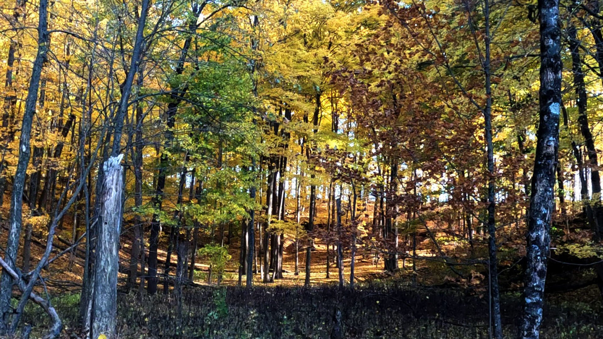
It came as a surprise when we discovered a little-known “wilderness” area within Kent County, which is Michigan’s fourth most populated county. Just south of the City of Lowell lies the Lowell Regional Greenspace with over 500 acres of public land. Roughly half of it is wooded and it has some interesting terrain features but no mapped trails or other “improvements”. This area was purchased by the county in order to develop a future park, and while it may not be as wild as the McCormick Wilderness it’s about as wild as we can find this close to a relatively developed area.
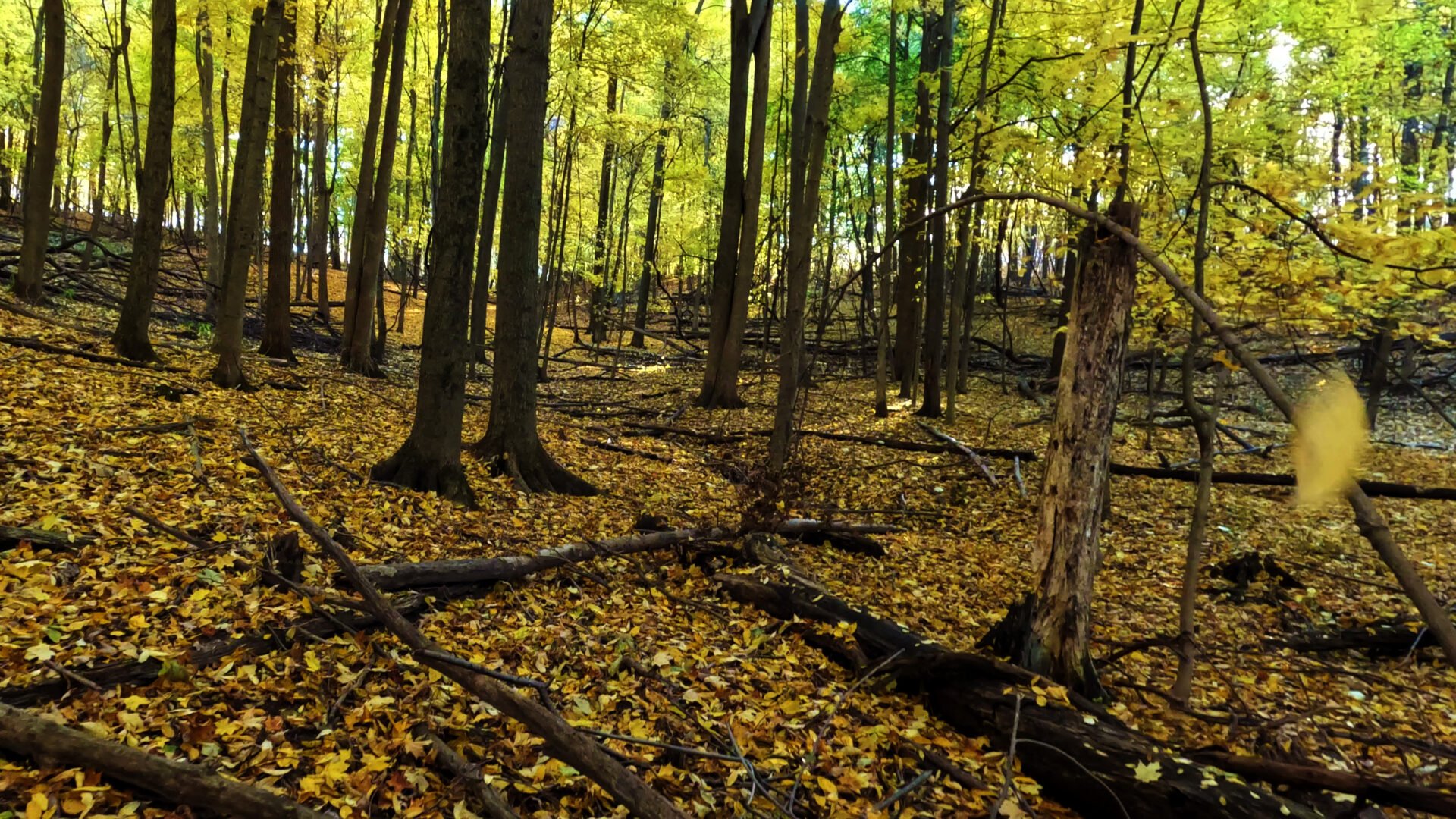
We had a spectacularly warm and sunny autumn day for practicing our land navigation skills as the yellow maples glowed all around us.
vlcsnap-2022-10-24-18h06m57s468

vlcsnap-2022-10-24-18h20m40s762

vlcsnap-2022-10-24-18h01m00s409

vlcsnap-2022-10-24-18h15m12s558
vlcsnap-2022-10-24-18h21m47s651

vlcsnap-2022-10-24-18h18m14s813
vlcsnap-2022-10-24-22h17m11s613

vlcsnap-2022-10-24-18h13m49s165

vlcsnap-2022-10-24-18h16m28s757

We set out from the small parking lot with maps and compasses, and took turns following a compass bearing and pace counting to our first destination. Jay gave impromptu lessons on reading topography and navigation techniques as we went along.
vlcsnap-2022-10-24-22h11m55s576

vlcsnap-2022-10-24-17h32m30s276

vlcsnap-2022-10-24-17h36m42s093

Geocache Orienteering
Our first target was a geocache, a couple hundred meters from the parking area. Two of our participants hadn’t done any land navigation in quite a while, so we used a nominal pace count of 66 paces per 100 meters and that got us pretty close but we had to search around a bit to find the cache. They had come up a bit short so we increased their pace counts to 68 for the next navigation segments. We left behind some FBET swag in the cache for the next finders.

Practicing Techniques
When we reached a somewhat steep slope, we practiced using a rope to aid our descent. This is not rappelling, but simply holding the rope to maintain our balance as we descend the slope. We could have handled this one without the rope but it’s a useful technique to help maintain balance when negotiating a slope with a loaded pack.
vlcsnap-2022-10-24-22h16m10s884

vlcsnap-2022-10-24-18h09m56s278

As we hiked through the woods we found good opportunities to practice other navigation techniques including terrain association, handrailing, catching features, attack points and bearing off.
Are You Really Where You Think You Are?
We repeatedly asked ourselves this question, and answered it by comparing features on a map with visible topography and other things we can observe. More than once the answer was in fact NO, we weren’t quite where we thought, and we were able to re-orient ourselves by observing our surroundings and relating this information back to the map.

Altogether we covered about 3 miles in 3 hours, which we find is a typical pace when bushwhacking off-trail (some of it was quite a bit thicker than in these pictures) and taking our time to look at stuff along the way. We all came away with improved navigation skills and the joy of spending a fantastic afternoon in the woods.
